Main Menu
Copyright © 2026
Terrayn Land Consulting.
All rights reserved. Grande Prairie Web Design by nine10 Incorporated.
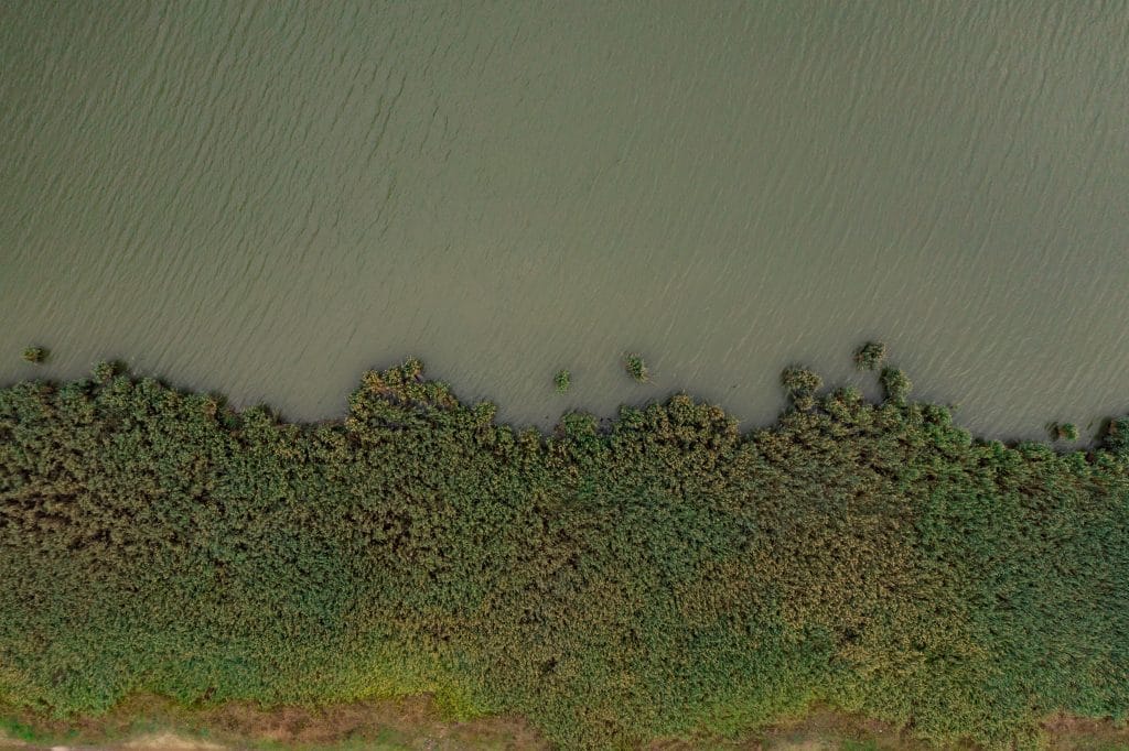
Water management is critical to any infrastructure project. At Terrayn, our Watershed Analysis services provide the data and insights you need to manage hydrology risks and meet environmental regulations.
Our approach captures air, land, and water data for a complete hydrological picture.
We identify how water interacts with your site—ensuring safe, compliant designs.
Understanding what lies beneath the water is just as important as mapping the land. At Terrayn, we utilize advanced bathymetric surveys to deliver accurate, underwater terrain data essential for effective project planning and environmental management.
Using unmanned sonar-equipped vessels, our bathymetric surveys deploy high-frequency echo sounders that emit sound waves to the bottom of rivers, lakes, or reservoirs. These sound waves bounce back, allowing us to precisely measure:
This data is then processed into detailed 3D models and contour maps of the underwater environment.
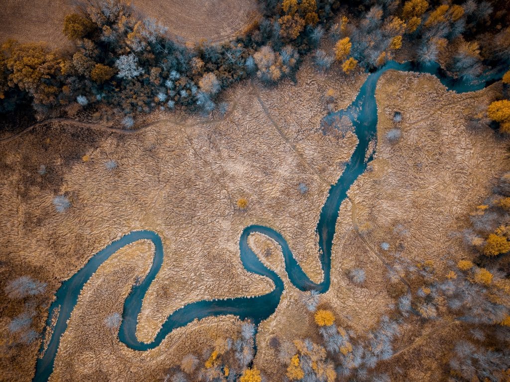
LIDAR technology transforms how we approach watershed analysis. By creating detailed 3D models of terrain and drainage areas, we can:
With Terrayn’s LIDAR-enhanced analysis, you gain the insights needed to design resilient water management systems that protect both your project and the environment.

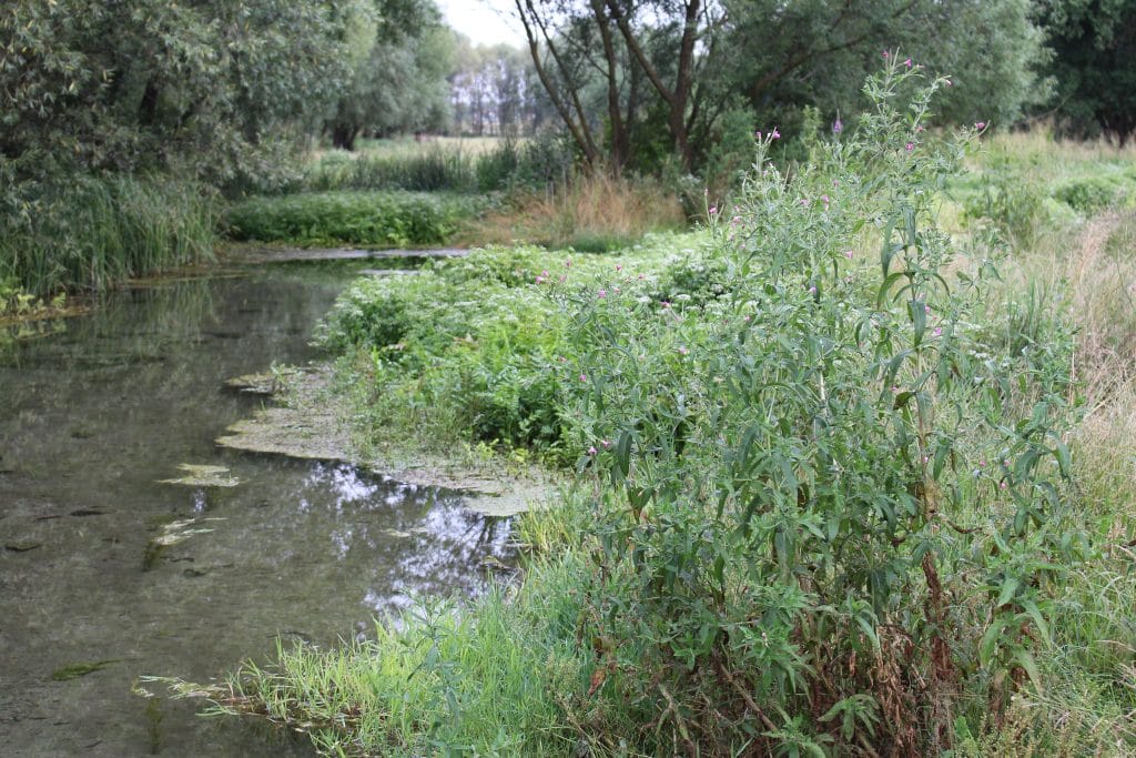
Understanding how water interacts with your site is only part of the equation—assessing ecological impacts is equally critical. Terrayn evaluates:
Our holistic approach balances development needs with environmental stewardship, helping you avoid regulatory pitfalls and costly remediation efforts.
Terrayn doesn’t just collect data—we deliver comprehensive, easy-to-understand reports that guide decision-making. Our watershed reports include:
With our reporting, you’ll have the documentation and insights needed to implement effective, compliant water management strategies—keeping your project moving forward with confidence.