Main Menu
Copyright © 2026
Terrayn Land Consulting.
All rights reserved. Grande Prairie Web Design by nine10 Incorporated.

With Terrayn, you gain a dedicated project manager, so you can focus on the bigger picture while we handle the details.
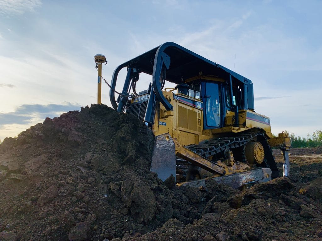
Earthworks design is the critical first step in transforming raw land into a functional, buildable site. At Terrayn, we specialize in shaping the terrain to meet your project’s structural, operational, and environmental requirements.
Our earthworks design services include:
By optimizing how soil and land are moved, shaped, and stabilized, we reduce construction costs, improve safety, and ensure long-term site performance.
Our civil consulting is enhanced by industry-leading tools:
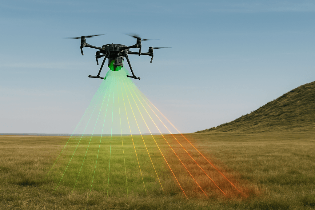
LIDAR (Light Detection and Ranging) is at the core of Terrayn’s precision consulting. This advanced surveying technology uses laser pulses to create detailed 3D models of your site, capturing millions of data points with incredible accuracy.
With LIDAR, we can:
Whether for earthworks planning, drainage analysis, or construction guidance, LIDAR ensures that every decision is based on real-world data—not estimates.
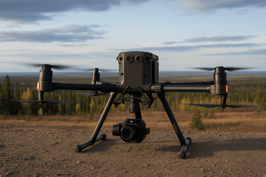
At Terrayn, we deploy a fleet of industry-leading drones to capture high-resolution aerial imagery and survey data. Our drone-based surveying solutions offer a faster, safer alternative to traditional ground surveys—especially for large or difficult-to-access sites.
Why we use Drone Based Surveying:
By integrating drone data into your civil consulting project, we provide clear insights that keep your project moving efficiently and mitigate risks from the start.
Our team is able to manage every aspect of your project from planning and applications to site building and implementation. We specialize in:
Let Terrayn be the expert, so you don’t have to be.