Main Menu
Copyright © 2026
Terrayn Land Consulting.
All rights reserved. Grande Prairie Web Design by nine10 Incorporated.
Home > Technology
At Terrayn Land Consulting, we believe that the best results begin with the best data. That’s why we’ve invested in a suite of advanced surveying technologies to deliver accuracy, efficiency, and clarity across every stage of your project—from planning and design to execution and compliance.
Our technology ecosystem ensures your infrastructure is built on facts, not assumptions.
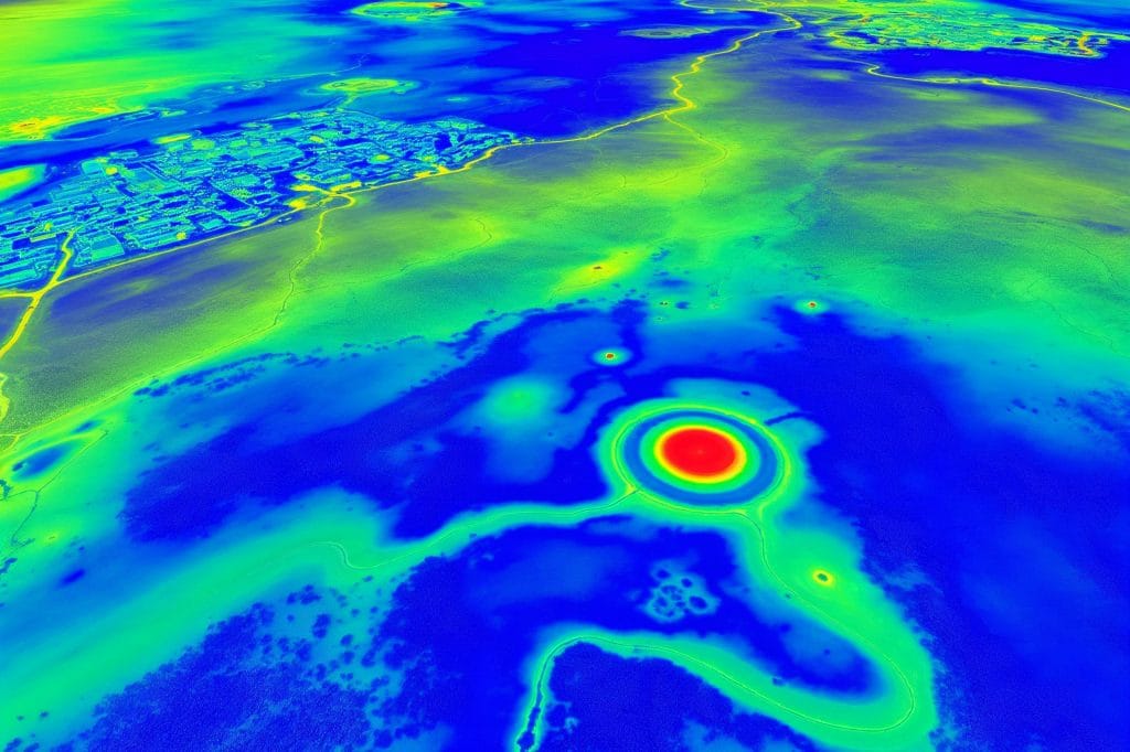
LIDAR (Light Detection and Ranging) uses pulsed lasers to measure distances, creating detailed 3D maps of terrain and structures with centimeter-level accuracy. It’s our go-to tool for:
LIDAR helps us detect subtle changes in slope and elevation that other tools miss—giving you confidence in every design decision.

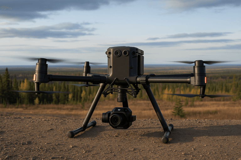
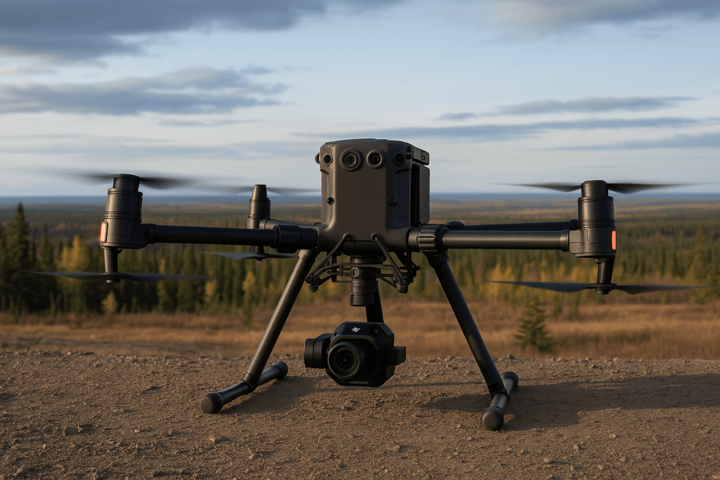
Our fleet of commercial-grade drones, including the DJI M350 with L2 LIDAR sensors and P1 photogrammetry cameras, allows us to capture high-resolution aerial data quickly and safely.
Applications include:
Drone-based surveys reduce the need for on-foot inspections, improving safety while delivering comprehensive visual and analytical insights.
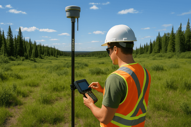
RTK (Real-Time Kinematic) GPS enables us to achieve sub-inch accuracy for location and elevation points. RTK is ideal for:
It bridges the gap between digital designs and real-world implementation—ensuring that what’s built matches what was planned.
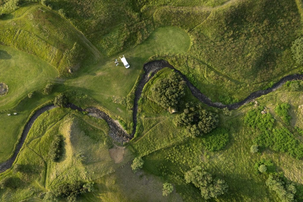
Using unmanned boats equipped with sonar (e.g., Sonarmite echo sounders), we perform bathymetric surveys to map the shape and depth of underwater surfaces.
How Bathymetric Surveying Helps you:
Bathymetrics ensure your water management strategies are grounded in reality—not estimates.
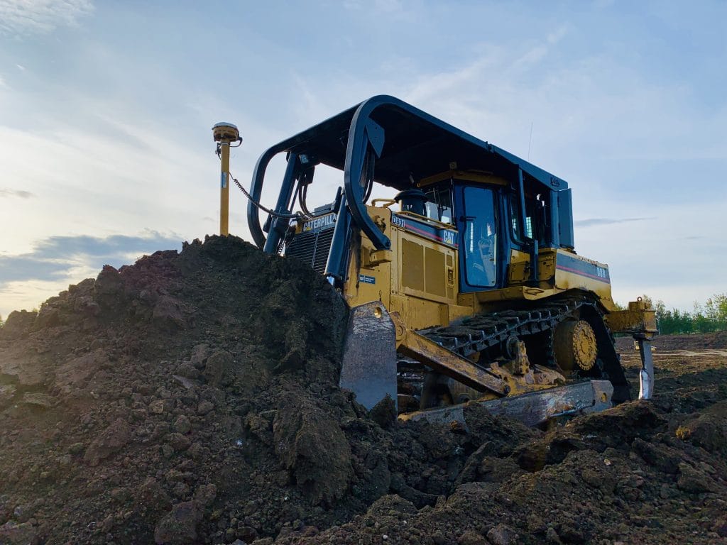
Our 3D site models are compatible with GPS-based machine control systems used in modern bulldozers and graders. This allows operators to:
Machine control improves speed, precision, and efficiency on the job site—reducing rework and manual staking.
Behind every scan or flight is a streamlined digital workflow. We process data using industry-standard tools (CAD, GIS, and proprietary modeling software) to deliver:
Our integrated approach means the right data flows to the right people at the right time.
Whether you’re designing a plant, planning a watershed crossing, or scouting oilfield terrain, Terrayn’s technology delivers value through:
Faster Project Startups
Rapid data collection and processing
Greater Design Accuracy
Buildable, reliable plans that reduce rework
Improved Safety
Reduced field exposure through drone and remote methods
Total Data Alignment
Consistency from initial survey to final build
Let’s put data to work for your next project. From LIDAR-powered earthworks to sonar-based water mapping, Terrayn’s technology delivers clarity where it counts.