Main Menu
Copyright © 2026
Terrayn Land Consulting.
All rights reserved. Grande Prairie Web Design by nine10 Incorporated.
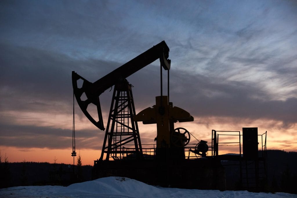
Terrayn’s oilfield reconnaissance services ensure your designs align with real-world conditions. Before construction begins, we collect field data to confirm environmental, logistical, and buildability assumptions—reducing costly surprises and ensuring regulatory compliance.
Design plans are only as strong as the data behind them. In oilfield development, even the smallest oversight in topography, access, or environmental setbacks can lead to costly delays, regulatory setbacks, or unbuildable projects.
Terrayn’s oilfield reconnaissance services are your first line of defense against risk. We ensure your conceptual designs match real-world conditions—before a single machine hits the ground.
Our recon services help you:
Oilfield recon is the bridge between planning and reality—ensuring your investment is grounded in facts, not assumptions.
Validate Assumptions
Designs are often based on desktop studies or past data. We confirm accuracy with real-time field assessments.
Avoid Environmental Penalties
Verifying setbacks from water bodies, protected land, or sensitive terrain helps avoid non-compliance issues.
Streamline Permitting
Provide field-verified data to regulators, improving approval timelines and credibility.
Improve Cost Forecasting
With accurate ground data, you can plan for real-world logistics, access requirements, and terrain constraints.
Oilfield recon is the bridge between planning and reality—ensuring your investment is grounded in facts, not assumptions.
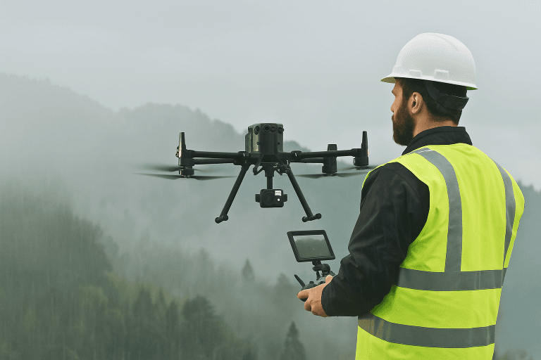
We physically inspect and survey proposed locations, identifying potential constraints and validating assumptions.
We assess and confirm road access to the site, identifying any required improvements or regulatory considerations.
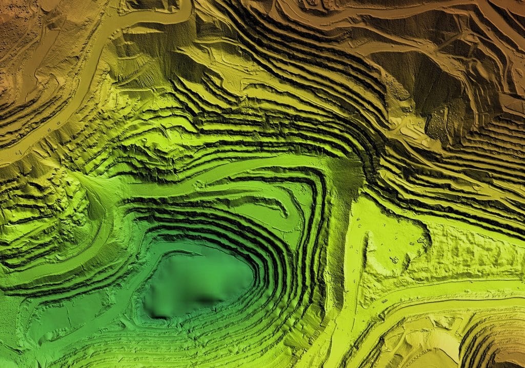
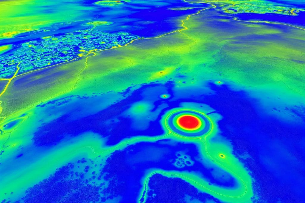
Using drone and LIDAR tech, we verify buffer zones, protected areas, and water crossings to ensure regulatory compliance.
We assess if the designed infrastructure is actually constructible based on real topography, slope, and soil conditions.
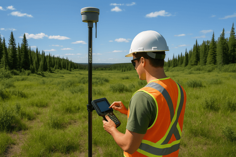
At Terrayn, we combine traditional field expertise with advanced technology to deliver unmatched accuracy and efficiency in oilfield reconnaissance.
Our drones are equipped with high-resolution LIDAR (Light Detection and Ranging) sensors that capture millions of elevation points to build a 3D model of your site. This helps map terrain and slope variations, iIdentify natural features and obstructions, and assess volume and elevation differences for design feasibility.
RTK surveying allows us to achieve centimeter-level positional accuracy in real time. It’s ideal for verifying layout points on-site, establishing accurate control points for future construction, and integrating ground data with digital plans.

Using high-resolution aerial photos, we generate 3D orthomosaic maps that provide visual context of site conditions, overlays for proposed infrastructure, and quick reference for stakeholders and regulatory bodies.
In cases where drones can’t access specific terrain or data needs ground validation, our field team uses specialized equipment for vegetation and terrain classification, and environmental assessments
By leveraging these tools, Terrayn ensures you don’t just see the site—you understand it, plan for it, and build on it with confidence.
Choosing Terrayn for oilfield reconnaissance gives you more than just data—you gain a strategic partner focused on your success:

With Terrayn, oilfield reconnaissance isn’t just a checkbox—it’s a foundational service that safeguards your investment and drives project success.
Ready to move forward with confidence? Let Terrayn validate your site with expert oilfield recon and advanced survey technology.